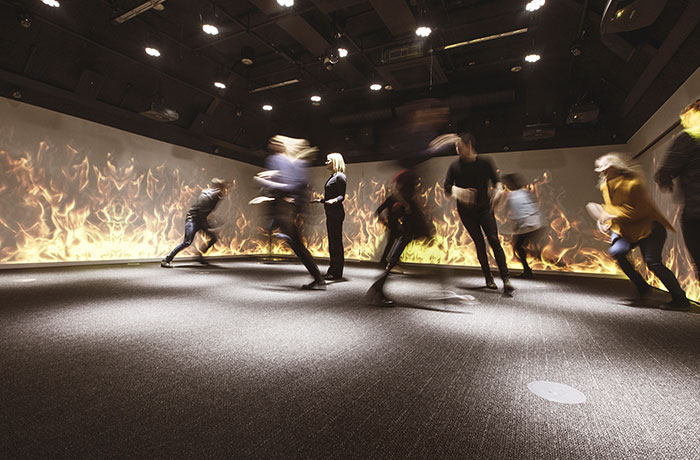
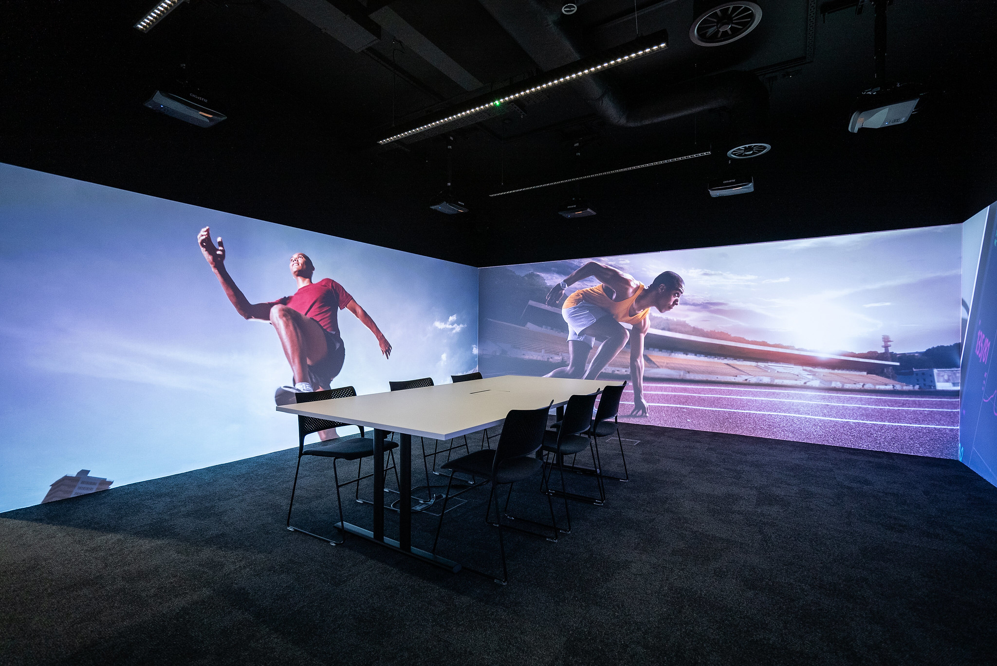
The Igloo Lab allows students to conduct live virtual fieldwork, all from one fixed location. Students can be transported to sites across the world, including those that are simply not accessible without specialist equipment, training, and luck with the weather.
One such trip that is often conducted in the space is to the Gulf of Corinth, in Greece. This area is an active zone, with multiple faults and varied geomorphological structures for students to analyse and assess. These locations display excellently within the Igloo with mixed-media approaches such as 4K drone footage and digital models used and can then be traversed intuitively with a games controller fitted with a gyroscopic sensor.
By using a shared immersive space, it is also much easier for students to interpret geological maps, satellite imagery, and topography, all at the same time. Whereas traditional 2D drawings show a simplification of a 3D model, by viewing the original models in the Igloo space, students can easily identify topological differences and come to conclusions much quicker. The space also allows for physical probs to be taken in, heightening the immersion and creating a direct link between scene and subject matter.
Reducing carbon emissions was also a key selling point for the use of a shared immersive system. With the Geosciences department actively looking to reduce its carbon impact, the Igloo allows for significantly less carbon usage through remote fieldwork. Additionally, work conducted in the Igloo provides essentially zero risk to students, as opposed to mountainous field work.